By now I’ve gotten used to the paddle out to the upper East River, but I haven’t explored all its nooks and crannies. One in particular beckoned me: I wanted to see how close I could paddle to the Worlds Fair pavilion in Queens. That meant a trip to Flushing Bay.
Flushing is an Anglicization of the Dutch Vlissingen, the colonial name for the area from the 17th century. Part of Queens, it’s just east of Laguardia airport and Rikers Island, west of the College Point and Whitestone areas of Queens, on the south side of the upper East River.
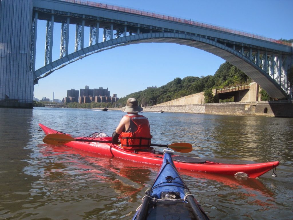
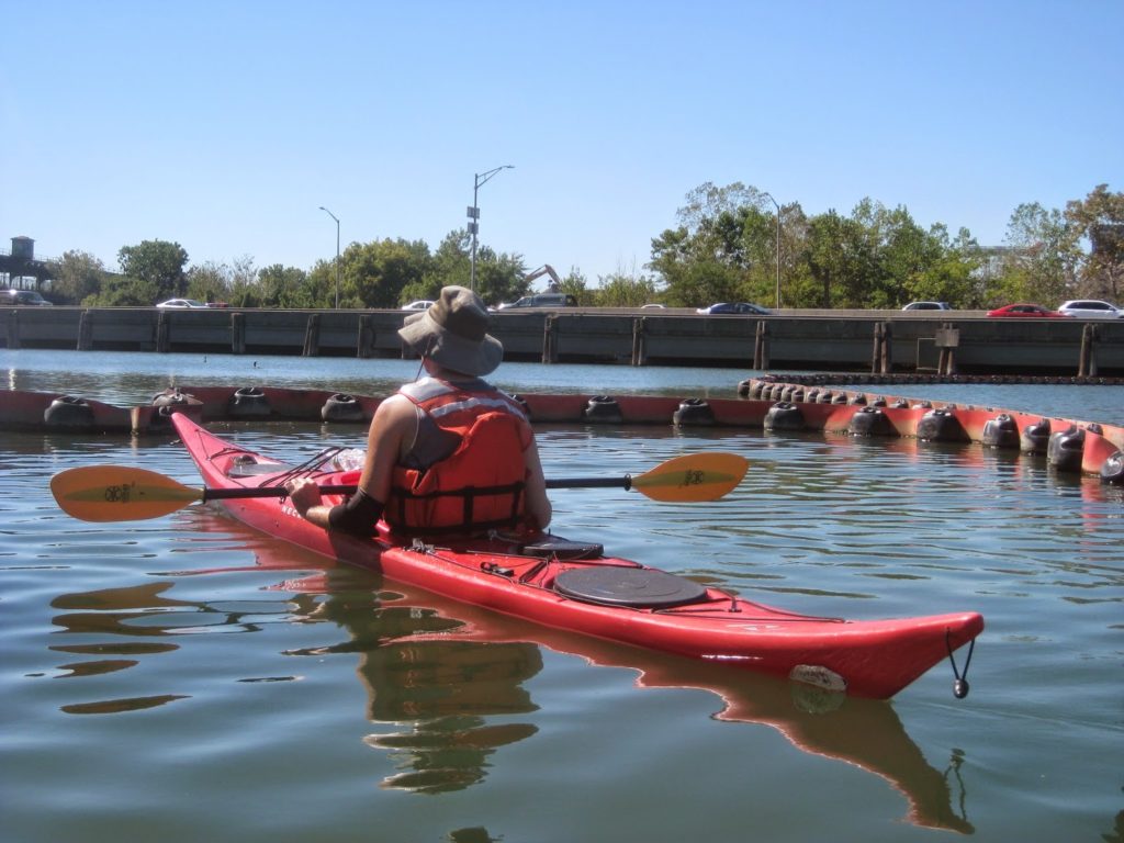
I paddled with my friend TS. The general plan was a variant of the Throgs Neck plan: leave before high tide at Battery to ride the current down the Harlem; cut through Bronx Kill and shoot out past Rikers Island, but make a right turn into Flushing Bay and paddle into it as far as we could before turning back. It would be an all-day paddle.
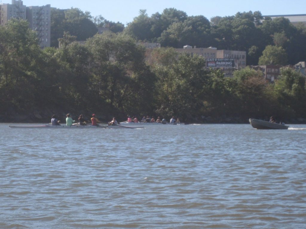
Our trip out the Harlem was mostly uneventful. It’s crew season, and we saw several crew boats and their attendant minders along the stretch from the Broadway Bridge to the High Bridge.
It was a beautiful day, cool to start but it would warm quickly.
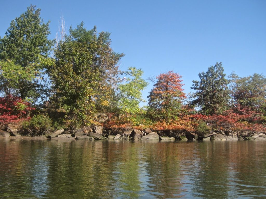
Along the Bronx Kill we saw signs of fall foliage. After a very warm couple of weeks it felt very sudden.
At the end of the kill, the view of Astoria – to the left is the upper East River. I’ve come to love this view because while it looks so empty, Manhattan and the 1,000,000+ peeople who live there are less than a mile behind me.
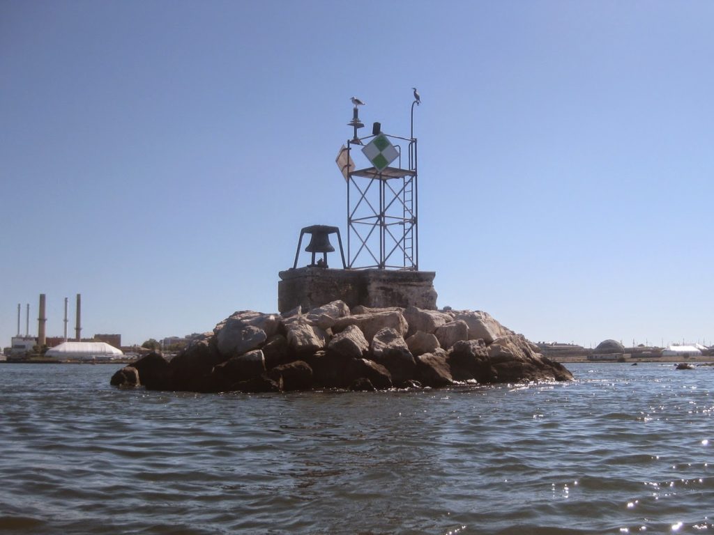
Off we went. I recognize that marker – at South Brother Island. At this point in the trip I realized this is my fourth time out here this summer, and the second time in as many weeks.
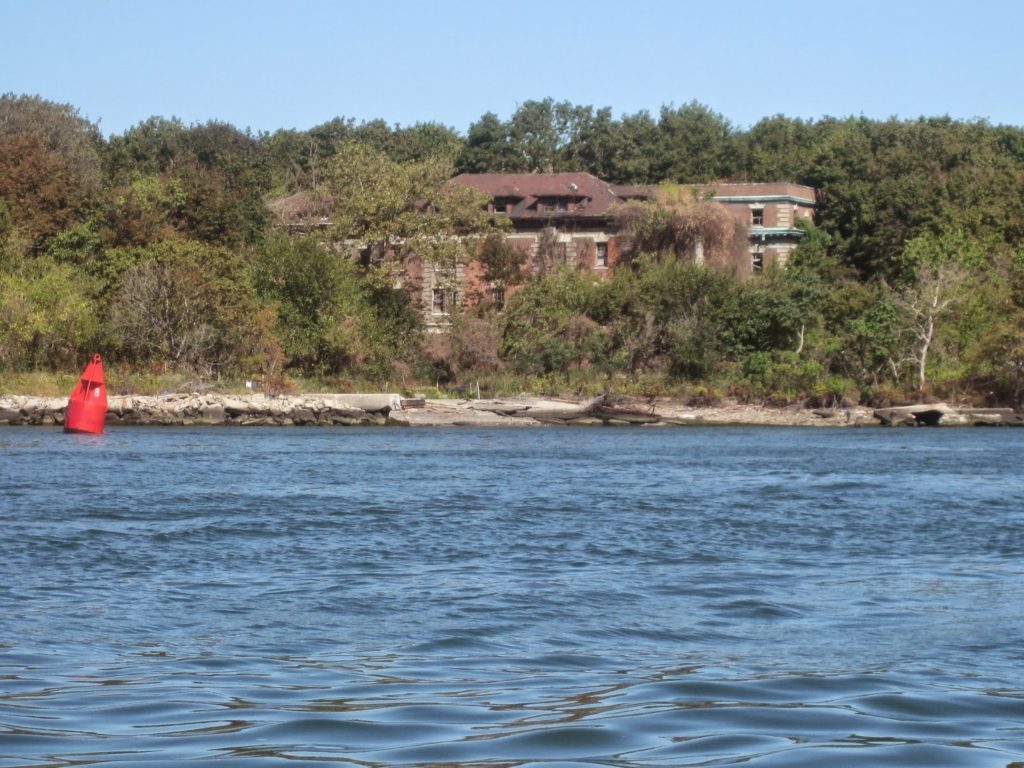
Looking across at North Brother, we could make out some of its ruins.
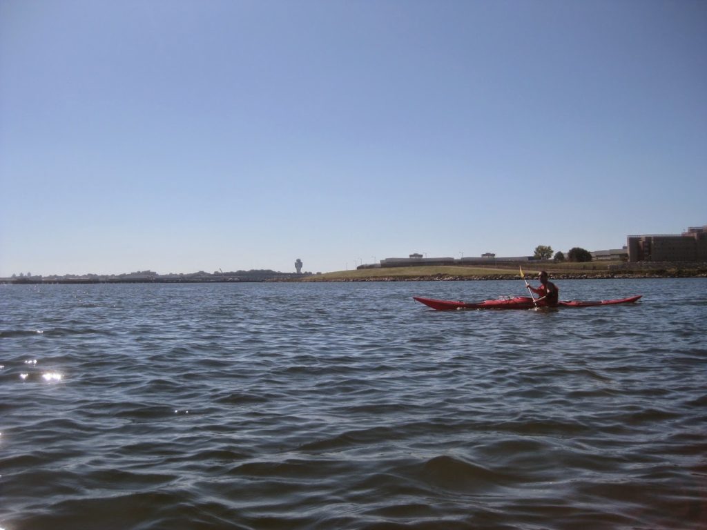
To get to Flushing Bay, we paddled past Rikers Island, New York City’s main prison facility. We took a compass heading of 120 to head towards the end of a long pier that extends from Laguardia. Not pictured, we saw some men working on the pier and I asked them what it was for.
“Private property, belongs to the airport.”
Never mind the fact the airport is part of a trust operated by New York and New Jersey, I asked, what is the pier for? What does it do?
“ILS, Instrument Landing System.” I kinda knew that but was delighted at the confirmation. The pier is clearly not meant for people or airplanes. It just guides them in to land on the north/south runway of the airport.
We paddled on, keeping our twenty-five yard distance from the pier, following the buoys down into Flushing Bay. There was hardly any wind and we began to broil a bit.
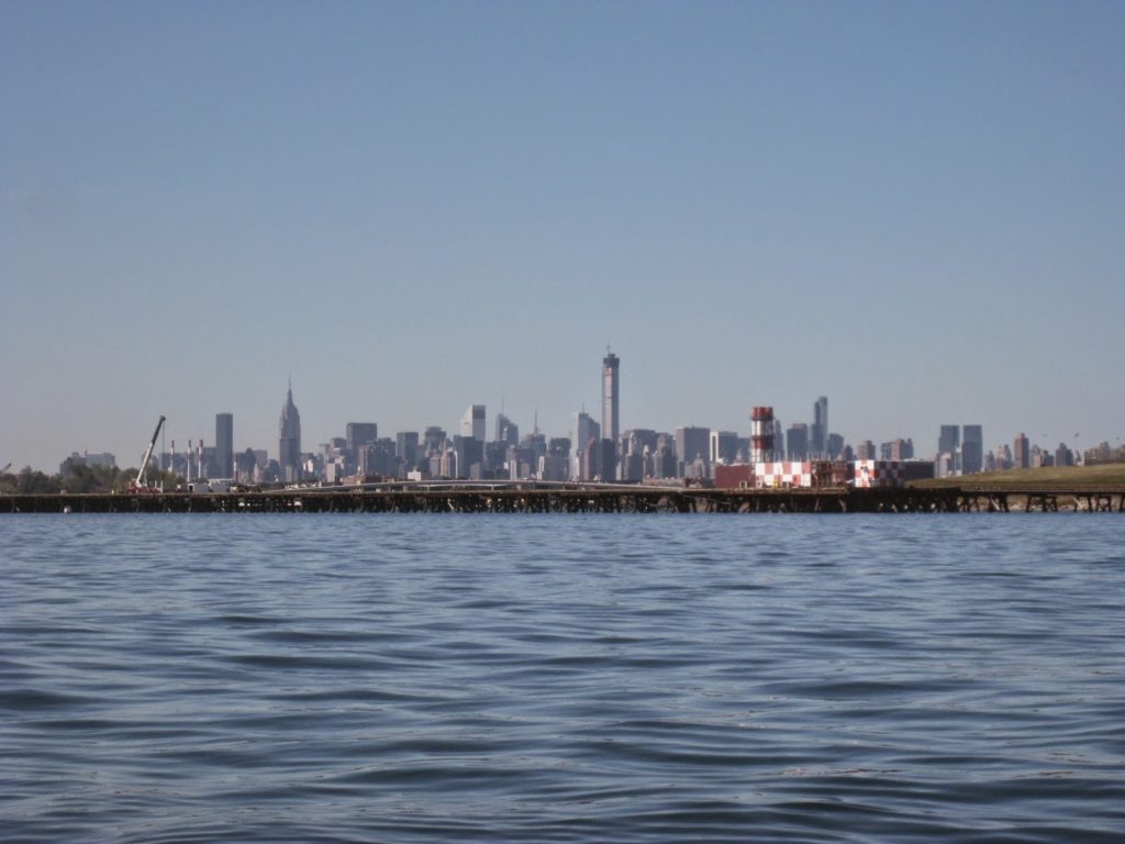
We were afforded oddly distant views of midtown and downtown Manhattan.
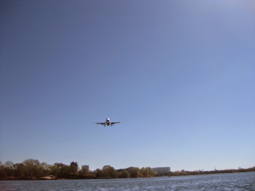
Not to mention, we had jetliners arriving directly overhead.
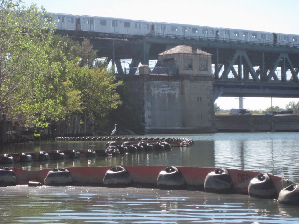
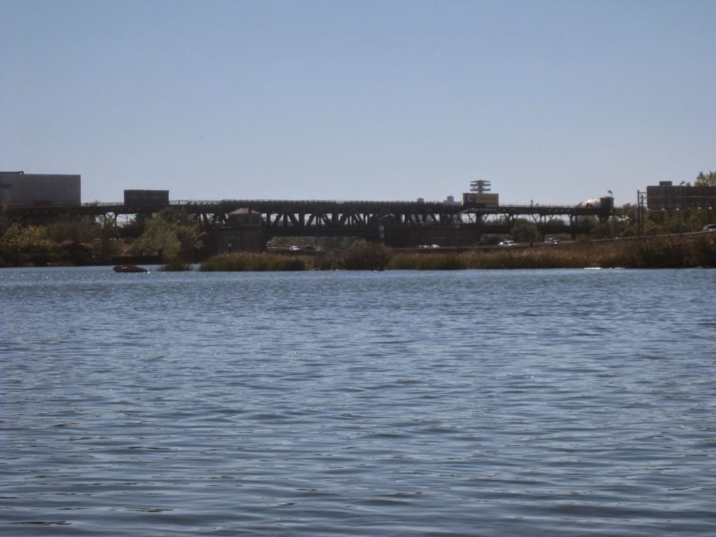
We paddled back as far as we could, into Flushing Creek, underneath a highway and past a cement factory. Eventually though, we hit a dead end – one we might get past on a more adventurous day, but on this day, a foot-high floating boom was enough to stop us. We admired the #7 train, Van Wyck Expressway, and an egret.
We were stymied, but happy to have made it as far as we did.
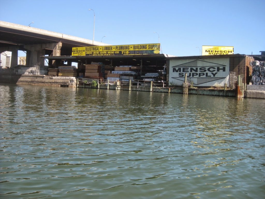
After all, we found a Mensch Supply place!
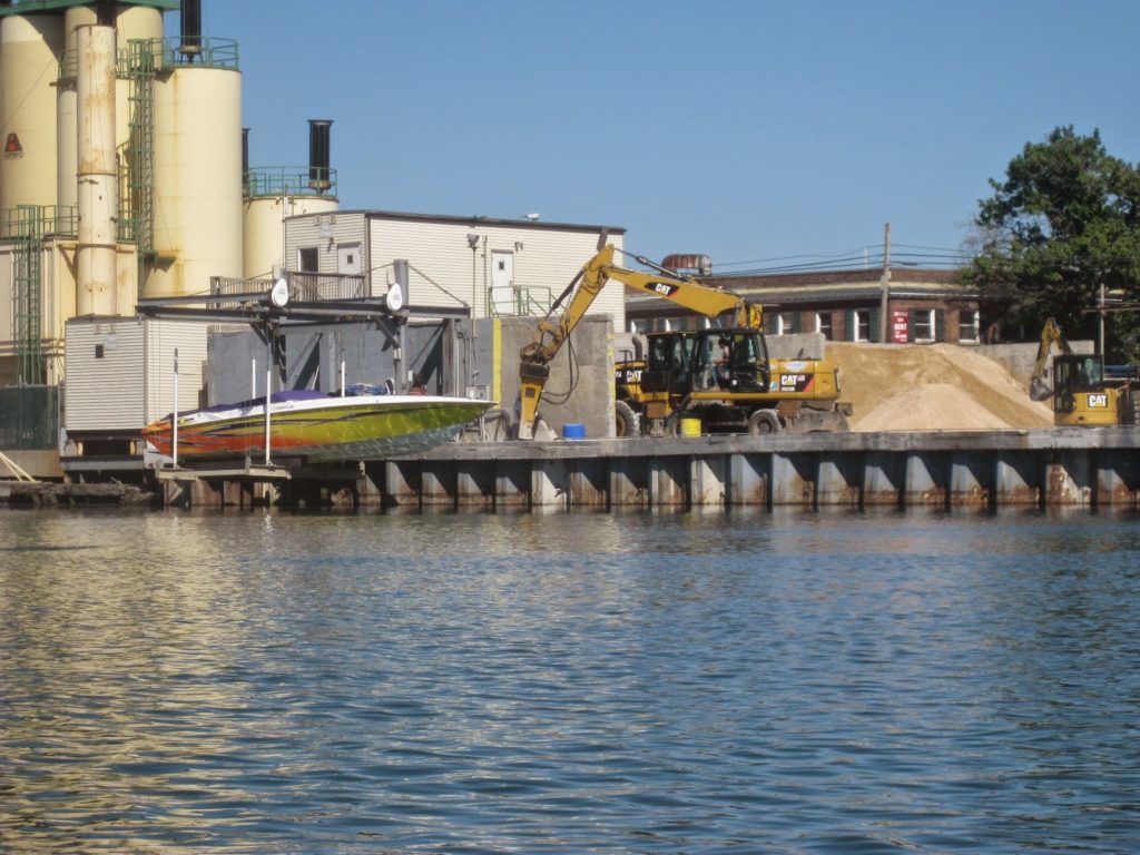
Not to mention the cement factory had a cigarette boat hanging over the water. We figured either they made express cement deliveries, or the owner was Batman.
Sadly then, this was as close as we got to the World’s Fair. You can make out the “flying saucers” about two-thirds of the way to the right in this photo.
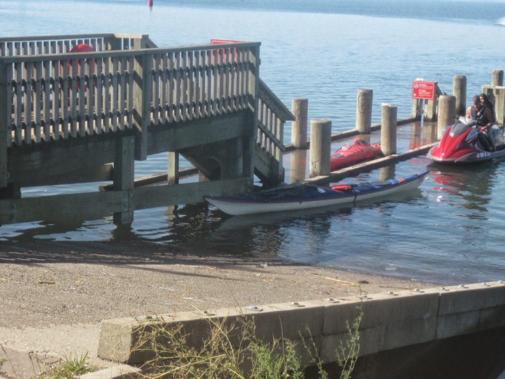
We discovered a small dock at the end of Flushing Bay, part of an NYC Parks park. There were ramps for dropping trailers in and we saw several jetskis, mostly middle-class hispanic kids out for a a last gasp of summer.
We ate lunch ashore, then packed for the trip home.
On the way out, we were overtaken by a faux-paddlewheeler, the Paddle Wheel Queen.
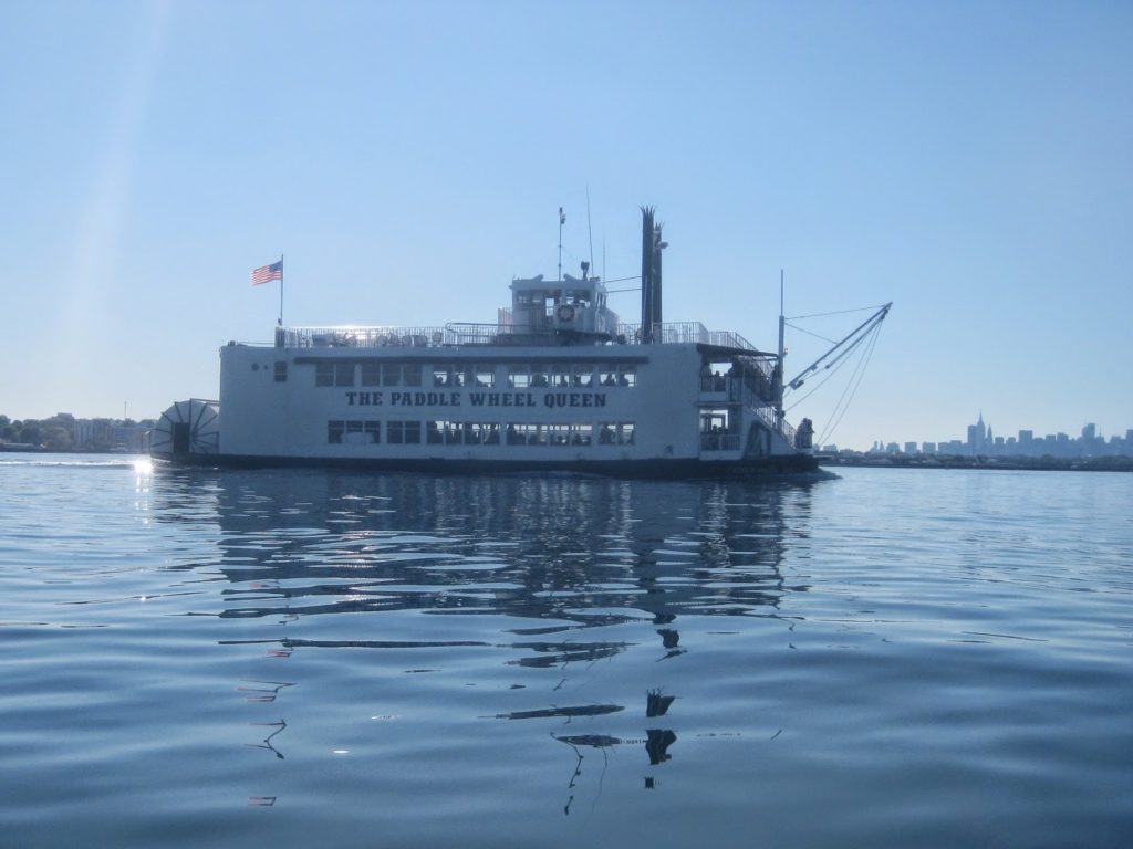
She passed us, went east a bit, and then looped around, passing us again on her way to Hell Gate. From what I could make on the radio, she rounded Mill Rock and then came back through. “The poor old broad,” said TS. “So drunk on her way to Manhattan she couldn’t even make it to the party.”
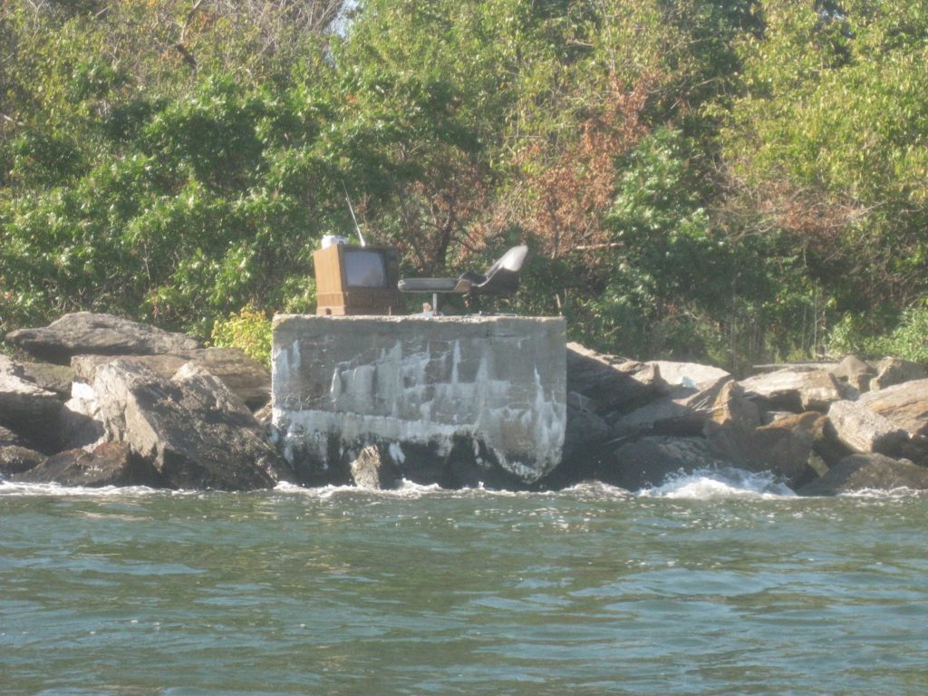
Perhaps the oddest sight on this whole trip was on the south shore of North Brother Island. Someone set up a TV and chair. Remember, North Brother Island is abandoned. No one lives there. It’s a bird sanctuary, and there’s no power or electric. Either this is a prog rock album cover, or Typhoid Mary’s got satellite TV.
All in all this was a good trip. It was long, but in line with other day trips. We got back with tide to spare. Paddling in to Flushing was a nice diversion from most of our other trips. The water is sheltered though the route out is not, and it’s a working waterfront. The airport is a nice touch. The weather was good and conditions benign.
On the way back, our route up the Harlem was uneventful. We went through the Duyvil, landed, and unpacked, with a wee nip at the end to celebrate.
Comments