It’s the wind blowing free, it’s the end of the slope
It’s a beam, it’s a void, it’s a hunch, it’s a hope
And the river bank talks of the waters of March
It’s the end of the strain, it’s the joy in your heart
I took a trip I’ve been meaning to for quite a while; working with two coaches I know from an event in Maine, one from there and one from Wales. I meant to go in 2020 but then Covid engulfed the world. Now, three years later, it was time for Advanced Sea Leader training in Pembrokeshire, Wales.
I flew over to arrive on a Saturday morning, meeting up J & M, two fellow participants who would be my car-mates and cottage-mates. We drove from London about five hours to Pembrokeshire, eventually arriving in Abereiddy, where we unloaded into our cottage and started to meet our fellow participants: T, who was from Montreal like J & M; V, the only other participant from the US, and four Icelanders: Gn, Gm, S and A. For the coming week we’d be an extended pod of people practicing leadership skills in an advanced sea environment; Gn and A had already achieved the award and were developing their coaching skills.
We were in a Vauxhall Overland (Crossland, Grandland close enough) stickshift: just enough room for three people, their luggage and gear; fun to drive on those rural Welsh roads.
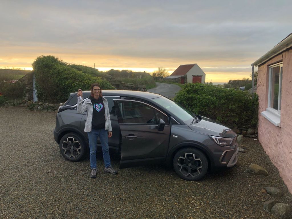
Our first day was the “shakedown” day: make sure we had all our kit, that the boats we picked were fit for purpose, and generally dust off the cobwebs of travel.
We went to The Bitches. Here’s a video that isn’t from our group.
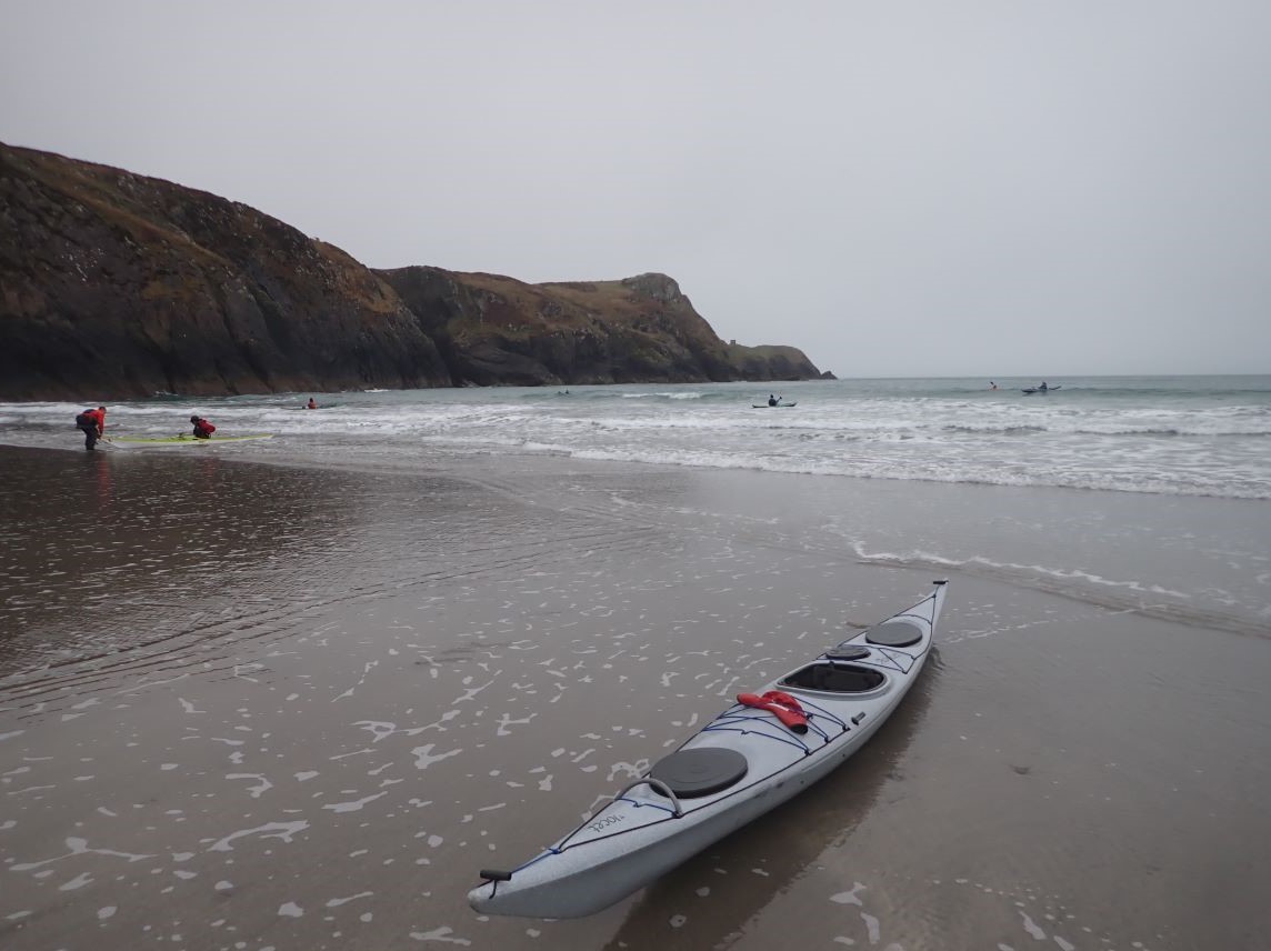
On the day we went, it was a bit messier, but we still had a fair amount of fun, launching out of White Sands beach and ferrying over from the north with the tail end of the ebb current, having a bit of lunch before heading out for the flood.
As the current built, so did the features, and we had a lovely time taking turns riding out on the wave, eventually working our way eastward to begin the journey home.
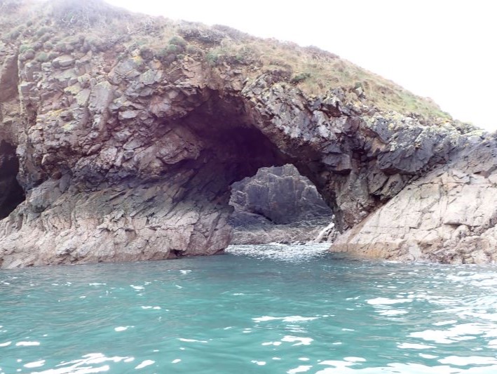
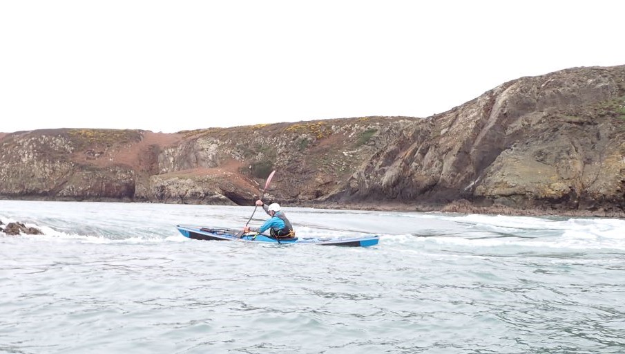
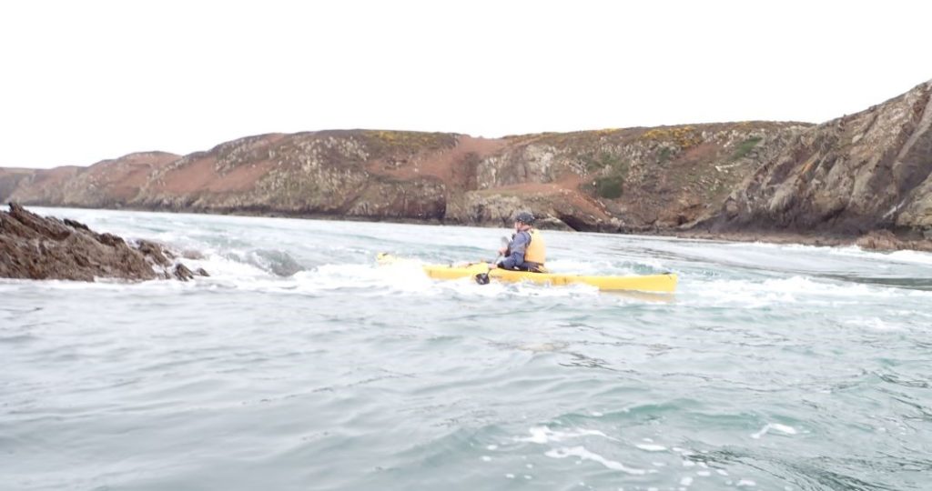
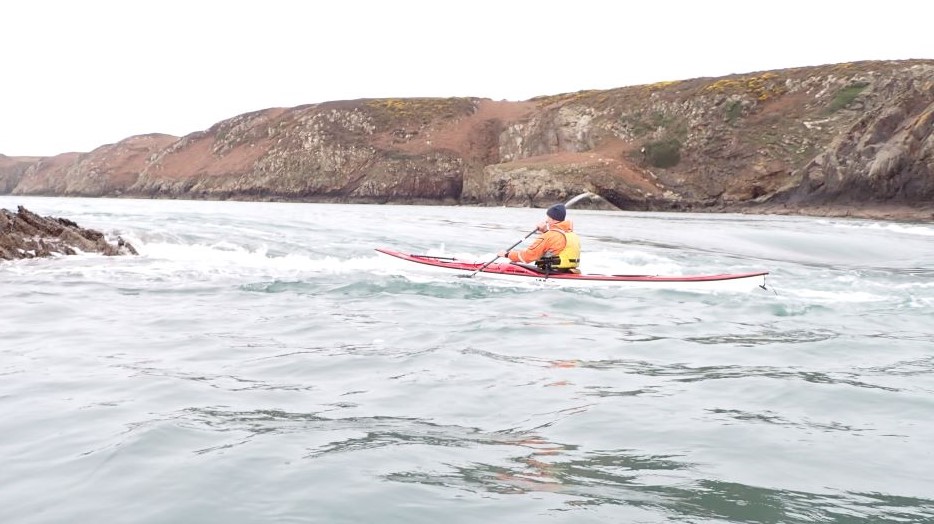
Subsequent days, honestly, blur together. The rest of the week we had truly advanced conditions: the wind blowing 20-25 mph at a minimum from the southwest or south-southwest, ocean swell also from the southwest building from around 7′ 8s to 11′ 11s by the end of the week, current ebbing most of the day. Our plan each day was generally to stay on the north shore, using all of Pembrokeshire as a shield against the raw force of the environment. We were still in high winds and big seas most of the time.
We did go out of Porthgain the first day after the Bitches, and again two days later. There’s a lovely pub, where we debriefed after out second sortie – one where my team completely hashed a simulated rescue in terms of decisions taken. I’m not sure how we could have made it take longer, but all ended well over a pint in the pub.
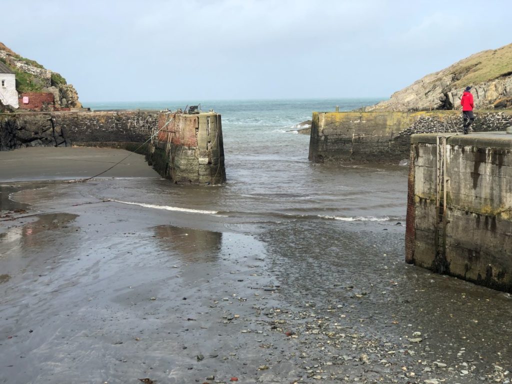
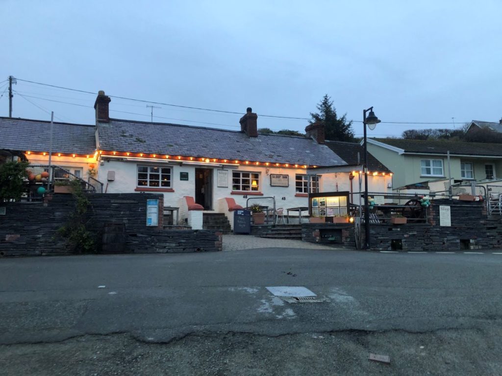
The second day we made a one-way trip out of Fishguard and took out at Pwllgwaelod. We practiced using OS maps for navigation – something yours truly had to rely on others for, as 1) I forgot my chart case and 2) plans to buy maps once in country were thwarted by only finding the largest scale possible before we went out.
I eventually got what I needed, and one fun surprise was that every printed map includes a code to download an electronic version on a tablet.
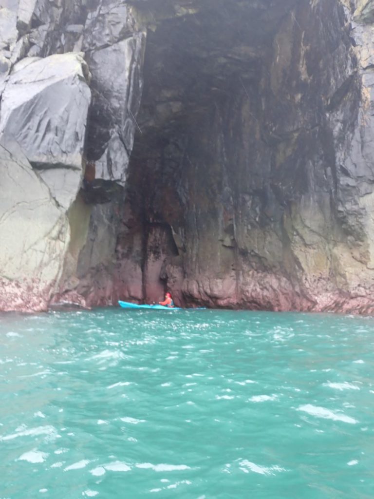
The coast was almost entirely cliffs and caves. One challenge in the area is knowing not only where a group could tuck in to shelter from the environment, but also they could leave the water entirely and return to civilization. It also made handrail navigation difficult, as one headland looks pretty much like another. Using the scale on an OS map is simple – 1 square is a kilometer on each side, so visualizing the width of a cove we were in compared to a cove on the maps was a helpful trick.
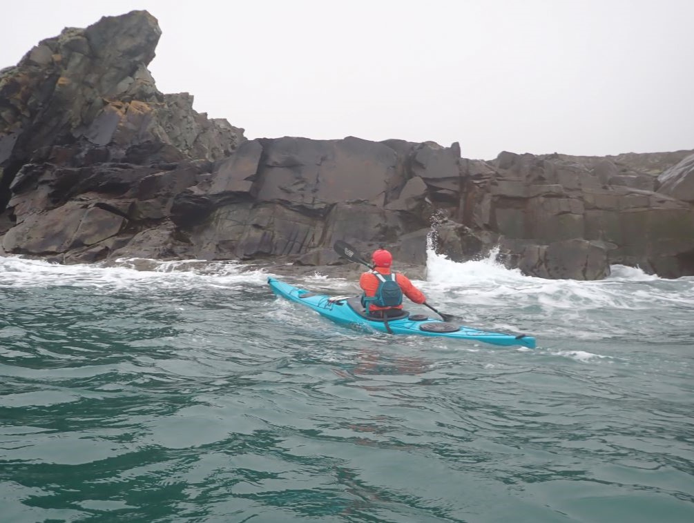
On one of our big-energy days we set out from Cwm yr Eglwys, or at least near it, portaging boats about two hundred meters from the parking area to the beach. While the days blur together in memory, I’m reasonably sure the following photos were all around the same trip.
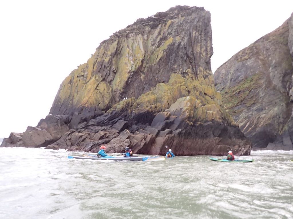
Rather than landing for lunch, we ate in our boats, hiding from the wind behind an immense rock.
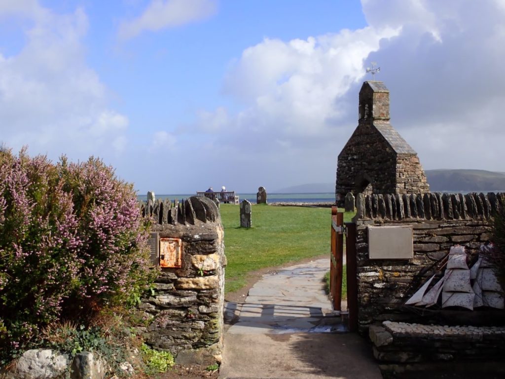
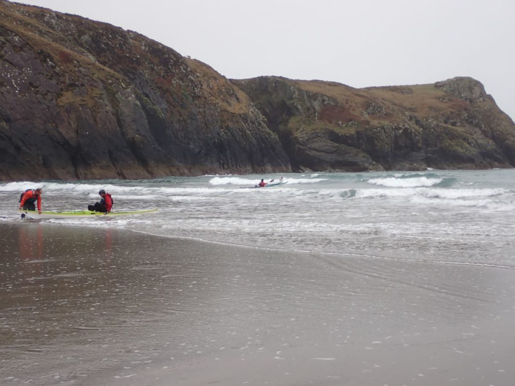
Earlier that week – jumping around in time, Vonnegut-style – we had landed on a beach for lunch, and afterwards practiced landing in surf with a swimmer on the back deck. Curiously enough I’d begun to chill during lunch as we weren’t moving much, but once paddling or holding on to a kayak, while the sea washed over me, I was a bit warmer.
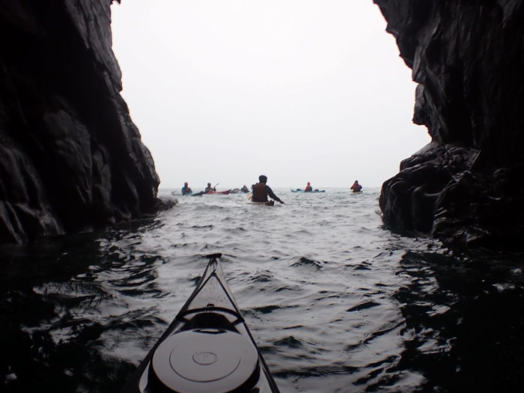
Along one part of the coast, we heard a deep nasally sound, as if the Earth itself was congested. It was the sound gurgling caves make, but there were no caves nearby. The cliffs gradually sloped to the waterline, and the sound came from two narrow slits.
No wo wonder the Welsh put a dragon on their flag.
Eventually we spotted two caves much farther down, at sea level, and surmised that a hollow passage must connect the slits to the caves. Still felt like we’d seen a dragon.
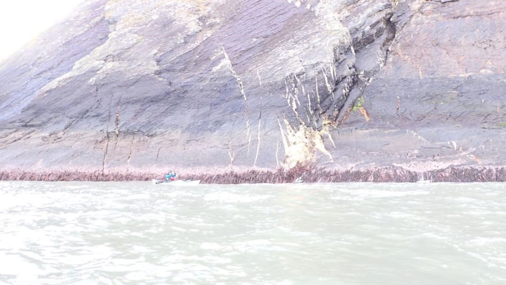
Our last day, Friday, was a bit too juicy to go out, even in our sheltered spots. While on the one hand it’s true that Advanced Sea Leader has no upper end to the remit, it’s also true that being an Advanced Sea Leader means being able to balance the groups goals and abilities along with the environment.
We’d already met most of our goals. Adapting to the environment would have meant our activities were so curtailed that we were not going to get much additional learning. So, we spent the morning on a navigation exercise, then went and looked at the sea from afar.
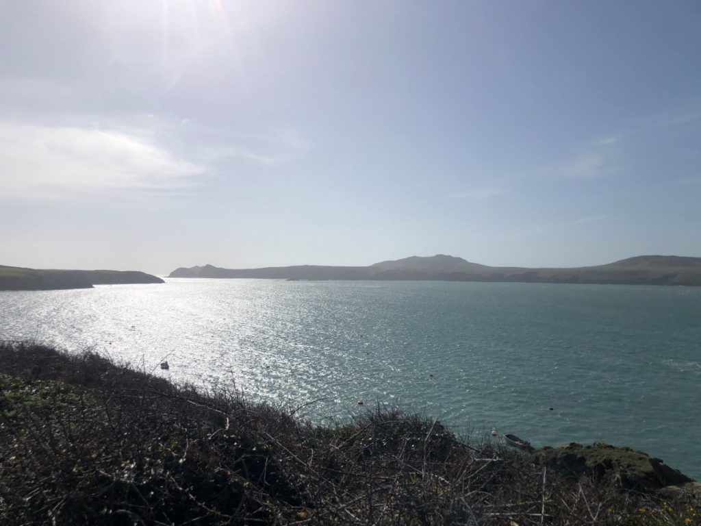
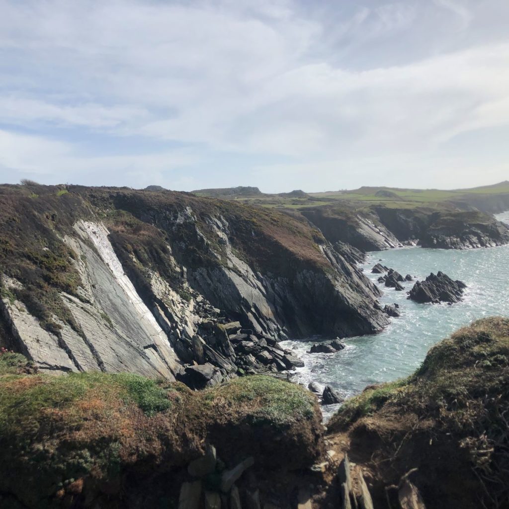
After that, training was over. We had a half-day of being tourists in Saint David’s. We visited the cathedral but also toured the town, buying souvenirs, and I, fortunately but too late, finally found the OS maps I needed in a useful scale.
Comments